


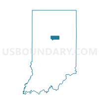
HONEY CREEK 02, Howard County, Indiana
About
Outline

Summary
| Unique Area Identifier | 577876 |
| Name | HONEY CREEK 02 |
| County | Howard County |
| State | Indiana |
| Area (square miles) | 0.88 |
| Land Area (square miles) | 0.88 |
| Water Area (square miles) | 0.00 |
| % of Land Area | 100.00 |
| % of Water Area | 0.00 |
| Latitude of the Internal Point | 40.41892820 |
| Longtitude of the Internal Point | -86.27207420 |
Maps


Graphs
Select a template below for downloading or customizing gragh for HONEY CREEK 02, Howard County, Indiana


